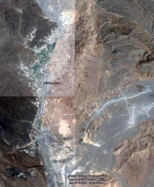
| Satellites and the GPS have revolutionized land survey mapping even more than the advent of the E.D.M. (Tellurometer etc.), the computer (calculations and C.A.D.), and Total station instruments (electronic self-reading and recording theodolite with EDM combined), all of which were exciting and effort-saving developments in the survey field. I have welcomed and greatly appreciated all these technological advances and I think their utility is even more enhanced by the fact that I have the satisfaction of also having done survey ‘the hard way’. (What would our forebears from the Survey of India say?) |
 |


